2D city map of SAR (South African Republic) cities (update)
2D South African Republic
Project for Radio Frequency planning, Geoinformation System and WEB-applications contains:
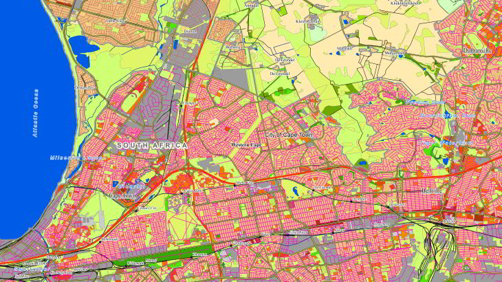
2D Regional Model of Cape Town – 3877 sq.km
2D Regional Model of Johannesburg – 3182 sq.km
2D Regional Model of Johannesburg CBD – 118 sq.km
2D Regional Model of Johannesburg Sandton – 12 sq.km
2D Regional Model of Pretoria – 1763 sq.km
2D Regional Model of Pretoria CBD – 23 sq.km
2D Regional Model of Pretoria Centurion – 19 sq.km
2D Regional Model of Pretoria menlyn – 7 sq.km
2D Regional Model of Durban – 1073 sq.km
2D Regional Model of Port Elizabeth – 551 sq.km
2D Regional Model of Port Elizabeth CBD – 38 sq.km
2D Regional Model of Bloemfontein – 436 sq.km
2D Regional Model of Bloemfontein CBD – 34 sq.km
2D Regional Model of Polokwane – 99 sq.km
2D Regional Model of Polokwane CBD – 25 sq.km
2D Regional Model of Durban – 57 sq.km
data for GIS project and WEB project:
Map of Cape Town – 3877 sq.km
Map of Johannesburg – 3182 sq.km
Map of Johannesburg CBD – 118 sq.km
Map of Johannesburg Sandton – 12 sq.km
Map of Pretoria – 1763 sq.km
Map of Pretoria CBD – 23 sq.km
Map of Pretoria Centurion – 19 sq.km
Map of Pretoria menlyn – 7 sq.km
Map of Durban – 1073 sq.km
Map of Port Elizabeth – 551 sq.km
Map of Port Elizabeth CBD – 38 sq.km
Map of Bloemfontein – 436 sq.km
Map of Bloemfontein CBD – 34 sq.km
Map of Polokwane – 99 sq.km
Map of Polokwane CBD – 25 sq.km
Map of Durban – 57 sq.km
2D Regional model is a medium-to-low-resolution database designed for large-area RF planning. It's the ideal solution in initial network planning and network planning in rural areas. 2D Regional RF map of SAR (South African Republic) cities (2D city models) covers more than 11314 sq.km.
We have used recent vintage imagery Sentinel of 2 m resolution to create 5 m resolution geodata.
SRTM/ASTER DEM data and available topo maps were processed for DTM/DSM production.
Clutter/Land Use/Land Cover are classified into different classes: classes of built-up areas, water classes, classes of landscape and vegetation. Land Use map was produced from multispectral satellite imagery by the method of automatic classification with subsequent manual photo-interpretation and modification.
2D Regional model allows quickly visualize terrain and clutter over large areas or entire countries. It consists of the following integrated layers: digital terrain model (DTM), clutter, linear vectors, orthoimage.
Data can be delivered in all major RF planning formats.
Regional Models may be integrated with 2D Urban ones to improve their accuracy in urban and suburban areas.
See also 2D Country Models of West Bank (Palestine) for RF planning and GIS project:
Send us the request for more information


