Visicom vector data include many types of geographical datasets of the most popular scales and GIS formats. Digital Maps may be customized according to customers’ specific needs. Our production capabilities are not limited to any region.
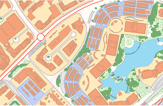
Digital Maps includes Typical Data Classes like: - Boundaries and settlements - Buildings and Built-up areas - Addresses - POI (Points of interest) - Names of geographical objects - Street-road networks - Railways - Engineering constructions - Public transportation networks - Terrain data - Hydrography - Vegetation - Population data - Land use data (clutter) - Satellite images
Applications:
- Environmental Management - Urban Planning - Transport Management - Logistics - Planning of Utilities Networks - Real Estate Marketing - LBS - Services - Geomarketing - Disaster Management
Please explore brochure Geospatial products for smart city, IoT.
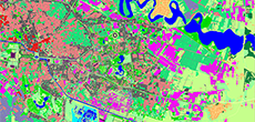
- Clutter/Land Use Map
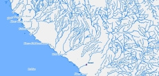
- Hydrography
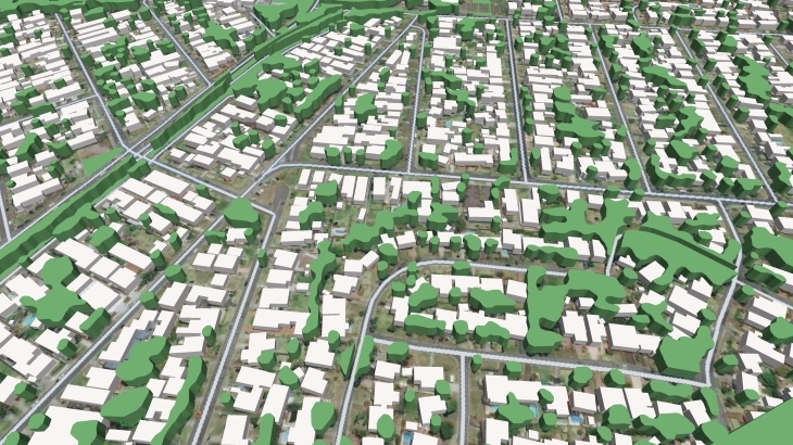
- Building Footprints
- Precise and up-to-date mapping information
- Extra-accurate 3d buildings
- Detailed and high-resolution terrain
- Flexible price fitted to customer budget
- Delivery in any RF planning tool and GIS format
- Alcatel A955
- Aircom Asset
- Atoll Forsk
- CelPlanner
- ICS Telecom
- NetPlan
- AutoCAD
- ESRI ArcGIS
- MapInfo
- Microstation
- Neva
- Odyssey
- Pathloss
- Mentum Ellipse
- Mentum Planet
- Nokia NetAct
- ASCII XYZ
- Raster images
- TIFF and GeoTIFF
- ERDAS Imagine Image
- ER Mapper Raster
- ENVI Image Format
- Generic Binary