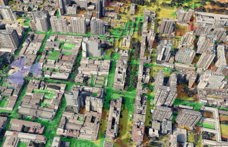
Geodata for 5G planning
Critical requirement of 5G technologies is the use of cmWave and mmWave frequencies.
Any terrain feature - building or tree - located near data transmitter has dramatic impact on signal propagation.
ADVANCED ACCURACY IS REQUIRED for 5G
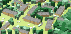
3D Network planning. Visicom 3D geospatial Data contain features of manmade and natural obstacles as well as precise vegetation information that assure an accurate 5G modelling.
- 3D Trees Model made specifically for 5g planning;
- 3D Buildings include small roof details;
- 3D Bridges displaying precise and detailed engineering constructions;
- 1m resolution matrixes of DTM, DSM, clutter, clutter heights layers
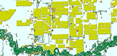
To meet challenges of 5G networks design outside of cities, Visicom produces 2.5D Models, that add height values to buildings and vegetation features in large suburbs and rural areas. Usage of 2.5D Models provides precise and cost-effective modelling of obstacles heights over large areas like in urban and integrated planning process inside and outside of cities.
- 2.5D Geodata for rural areas
- 3D Geodata for 5G Planning
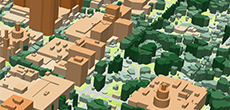
- 3D TREES (CANOPY) MODEL
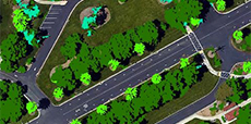
- 3D SLOPED ROOFS MODEL
- Precise and up-to-date mapping information
- Extra-accurate 3d buildings
- Detailed and high-resolution terrain
- Flexible price fitted to customer budget
- Delivery in any RF planning tool and GIS format
- Alcatel A955
- Aircom Asset
- Atoll Forsk
- CelPlanner
- ICS Telecom
- NetPlan
- AutoCAD
- ESRI ArcGIS
- MapInfo
- Microstation
- Neva
- Odyssey
- Pathloss
- Mentum Ellipse
- Mentum Planet
- Nokia NetAct
- ASCII XYZ
- Raster images
- TIFF and GeoTIFF
- ERDAS Imagine Image
- ER Mapper Raster
- ENVI Image Format
- Generic Binary