Elevation products
Visicom portfolio — covers digital elevation data of more than 50 countries and 3000 cities around the globe. **We produce Elevation data for any territory over the world according to your project requirements.
Elevation data — substantial mapping layer to perform effective geospatial analyses like for:
— Natural Resource Mapping
— Energy Management
— Natural Disaster Prediction
— Telecommunication Networks Planning etc.
— Roads networks planning
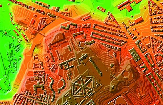
We produce 3 types of Data Elevation Model (DEM)
— Digital Terrain Model (DTM)
— Digital Surface Model (DSM)
— Digital Heights Model (DHM)
DTM, DSM and DHM can be used singly or in different combinations to meet customer’s needs and requirements.
- Digital Height Model (DHM)
- Digital Terrain Model (DTM)
- Digital Surface Model (DSM)
We guarantee
- Precise and up-to-date mapping information
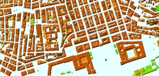
- Extra-accurate 3d buildings
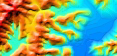
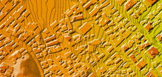
- Detailed and high-resolution terrain
- Flexible price fitted to customer budget
- Delivery in any RF planning tool and GIS format
Data formats
- Alcatel A955
- Aircom Asset
- Atoll Forsk
- CelPlanner
- ICS Telecom
- NetPlan
- AutoCAD
- ESRI ArcGIS
- MapInfo
- Microstation
- Neva
- Odyssey
- Pathloss
- Mentum Ellipse
- Mentum Planet
- Nokia NetAct
- ASCII XYZ
- Raster images
- TIFF and GeoTIFF
- ERDAS Imagine Image
- ER Mapper Raster
- ENVI Image Format
- Generic Binary
Order product