Digital Terrain Model (DTM)
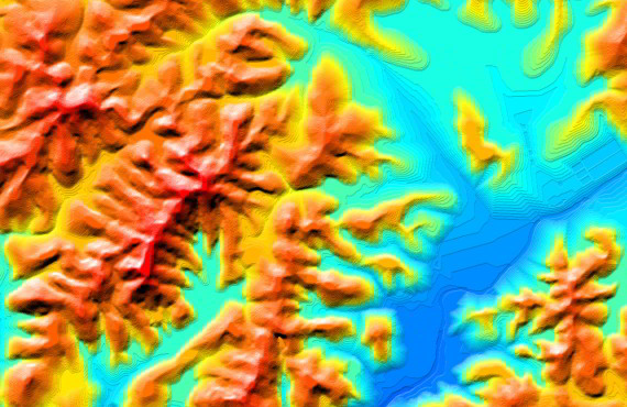
Digital Terrain Model (DTM)
DTM is often required for flood or ground rupture modeling, land-use studies, geological analysis. DTM represents the bare ground surface excluding trees, buildings, and any other surface objects in matrix representation
See also another digital elevation model:
- Digital Surface Model (DSM)
- Digital Heights Model (DHM)
We guarantee
- Precise and up-to-date mapping information
- Extra-accurate 3d buildings
- Detailed and high-resolution terrain
- Flexible price fitted to customer budget
- Delivery in any RF planning tool and GIS format
Data formats
- Alcatel A955
- Aircom Asset
- Atoll Forsk
- CelPlanner
- ICS Telecom
- NetPlan
- AutoCAD
- ESRI ArcGIS
- MapInfo
- Microstation
- Neva
- Odyssey
- Pathloss
- Mentum Ellipse
- Mentum Planet
- Nokia NetAct
- ASCII XYZ
- Raster images
- TIFF and GeoTIFF
- ERDAS Imagine Image
- ER Mapper Raster
- ENVI Image Format
- Generic Binary
Order product