- Telecom
The rapid development of new telecommunication generation – 5G networks, enabling humanity to enter to the contemporary era of connection and data interaction, is only possible with high-quality 3D cities models ensuring adequate signal radio planning stages, and as a result smooth functioning.
Visicom 3D Geodata adapted to 5G networks demands show all type terrain features, as well as detailed 3D buildings and 3D canopies High-quality and up-to-date maps produced for telecom purposes, are fitted to advanced requirements of cmWave and mmWave frequencies.
- Smart cities and IoT
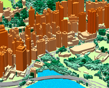
Now, 3D visualization is the only fully realistic and valid tool for smart and sustainable developed cities in terms of the connection between people, features and urban infrastructures. Visicom produces 3D city maps aggregated with any geospatial data like road/streets/railways networks, addresses database, POIs, toponyms etc.
Visicom is experienced in generating the models at three distinct levels of detail (LOD):
• LOD1 – 3D buildings as simple block structure
• LOD2 - 3D buildings with extra building details
• LOD3 - 3D buildings with roof details, including sloping roofs, roof furniture, elevators shafts, towers, spires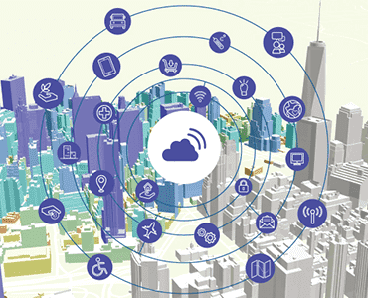
- Architecture
3D modeling is an important part of the architecture design industry providing a detailed visual representation of the built environment, allowing analyze and visualize the urban landscapes.
Visicom 3D building models are geographically accurate and specifically designed to support developers, architects, and urban planners in making efficient, cost-effective and reasonable decisions about the urban environment.
3D Building products and detailed terrain model are delivered in formats ready for most 3D application tools like Rhino, ArcGIS and CAD compatible formats.
- Environmental management
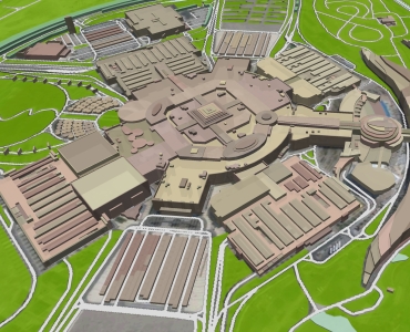
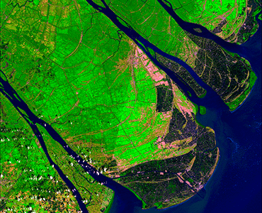
Geospatial technologies and relevant geodata help solve a number of environmental related problems: soil erosion, flooding, pollution, climate change, etc. Urban changes can be monitored with satellite and aerial images for purpose of transportation management, networks designs, aviation, traffic and accident control and prevention, land use developments.
Visicom geospatial data provide a high level of details in urban and suburban areas that allows recognizing, visualize and analyze the changes both in the natural and manmade environment.
- RETAIL and GEO-MARKETING
Visicom geodata assist market players to provide the most optimal and profitable decisions for Geo-marketing and retail management. Precise geospatial data help understand better the factors that drive sales growth thereby changing the understanding of customers catchments and improving the ability to understand regional and store performance. Maps for geospatial management are available at countrywide, region or city scales
- Transportation
Visicom provides precise and relevant base maps for navigation, automotive and railway planning helping make the data-driven decisions and simplifing the budget planning for the Transportation industry.
Our mapping products:
- Land Use, Basic vector
- Terrain
- Population map
- 3D buildings etc.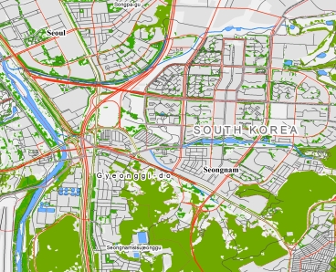
- Forestry
Visicom produces Geodata intended for forest management and greenery in cities. The used technology is based on Satellite image recognition featuring artificial intelligence and machine learning.
We propose the geodata for constant monitoring of forestry areas and vegetation within urban areas based on satellite image processing.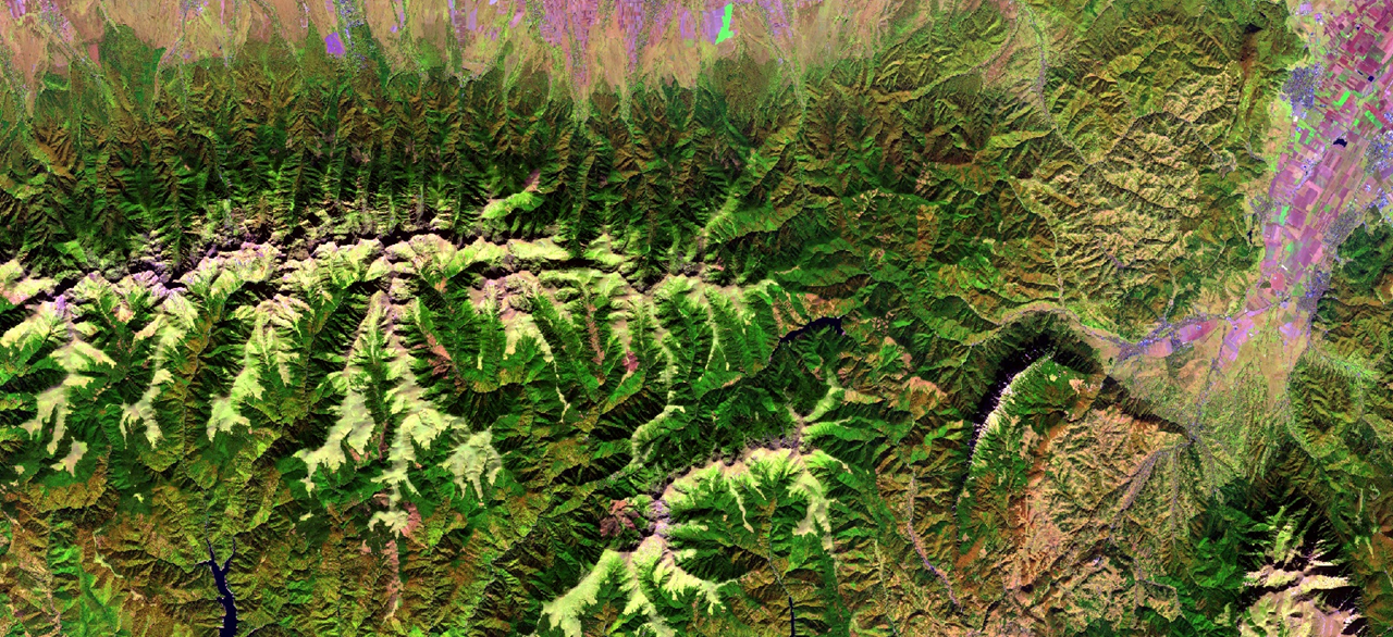
- Solar energy and Solar Cadastre
LOD3 3D buildings manufactured by Visicom, including such small elements as roof furniture, elevators shafts, towers, spires, as well as taking into account the sloping roof elements. The assigned parameters of azimuth, tilt angle, area of flat parts, and roof height are calculated for each element separately creating the background for producing solar rooftop maps (solar cadaster). The high accuracy of the building elements' footprints is tailored specifically to the estimation and calculation of the solar energy potential for each roof.

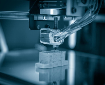
- 3D CITY MODELS FOR 3D PRINTING (Microscape, Cityscape)
3D printer is not a know-how anymore, it can be simply found at neighbor’s home. Visicom Company also doesn’t stand still. We have adapted our 3D models to 3D printing and provide them in the most popular formats, dividing into tiles (parts of the models tailored to the 3D printing size). So-called architectural Microscape Cityscape (micro models of the city) models using for the printing of 3D maps...
