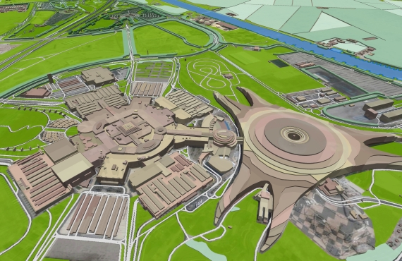
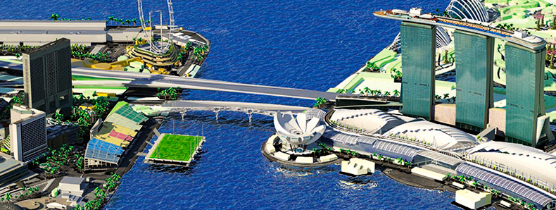
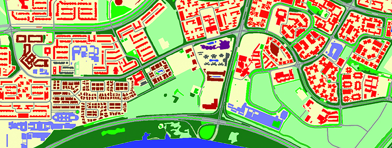
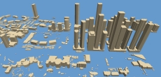
Visicom company supports architects and engineers in multiple industries with precise and accurate geodata: — 3D Buildings, Bridges and Trees models — Landscape and Terrain features — Vector data of Streets and Roads networks — POIs (Objects of city infrastructure)
We provide ready-to-use 3D maps for urgent projects and produce any 3D maps as well as any other requested layers. Visicom 3D Geodata will help you with any urban design project bringing the geographic context into your project and creating a real-world 3D picture. As a result, you will be able to make effective and informed decisions. 3D Buildings, 3D Trees and Elevation model are delivered in format compatible with the most 3D application tools like Rhino, ArcGIS and CAD.
Download the free data samples for Baku, Dhaka, Havana, Dublin, Bucharest, Makkah, Riaydh, Belgrade, Dubai, London.
- 3D Maps
- Geospatial Data
- 3D Models
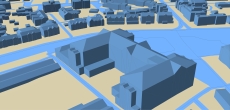
- LoDs 1.0 and 1.1 buildings
- LoDs 1.2 and 1.3 buildings
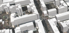
- LoD 2 buildings
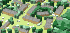
- 3D SLOPED ROOFS MODEL
- Precise and up-to-date mapping information
- Extra-accurate 3d buildings
- Detailed and high-resolution terrain
- Flexible price fitted to customer budget
- Delivery in any RF planning tool and GIS format
- Alcatel A955
- Aircom Asset
- Atoll Forsk
- CelPlanner
- ICS Telecom
- NetPlan
- AutoCAD
- ESRI ArcGIS
- MapInfo
- Microstation
- Neva
- Odyssey
- Pathloss
- Mentum Ellipse
- Mentum Planet
- Nokia NetAct
- ASCII XYZ
- Raster images
- TIFF and GeoTIFF
- ERDAS Imagine Image
- ER Mapper Raster
- ENVI Image Format
- Generic Binary