Detailed maps is an essential and mandatory background for spatial analysis and management of the earth's precious natural resources. Precise and up-to-date geodata ensure the relevant information to estimate all the possible outcomes and make a better decision.
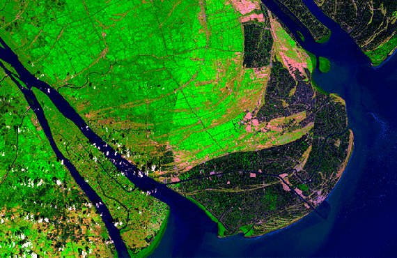
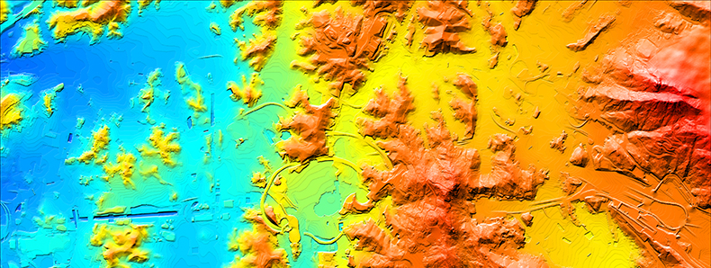
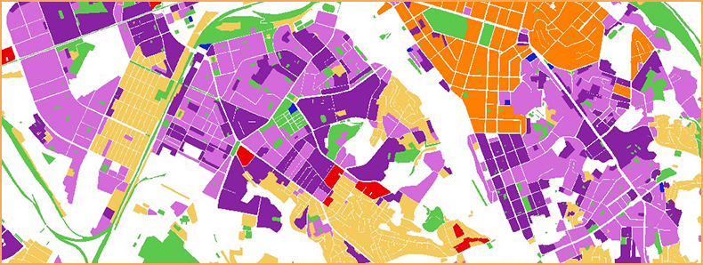
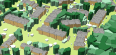
Visicom 2D and 3D digital maps granted you access to global geographic information including terrain and landscape features, waterbodies and vegetation, 3D manmade objects, detailed administrative boundaries, and population distribution information.
Our 2D and 3D geodata are widely used for GIS-solution in the following sectors: — Forestry — Agriculture — Urban development — Emergency services — Mining and Geology — Oil and Gas — Water and waste utilities etc.
The geospatial data for various tasks of environmental management are produced and developed in multiple GIS formats like ArcGIS, ERDAS Imagine/ER Mapper, MapInfo and AutoCAD Map.
Ask us for free data samples of LandUse, Population Maps, Elevation.
DOWNLOAD THE CASE STUDY
— FORESTS MANAGEMENT: “DEFORESTATION ASSESSMENT”
— AGRICULTURE MANAGEMENT: “CROP DEVELOPMENT AND DAMAGE ASSESSMENT”
- Elevation products
- Population data
- 3D SLOPED ROOFS MODEL
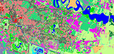
- Clutter/Land Use Map
- Precise and up-to-date mapping information
- Extra-accurate 3d buildings
- Detailed and high-resolution terrain
- Flexible price fitted to customer budget
- Delivery in any RF planning tool and GIS format
- Alcatel A955
- Aircom Asset
- Atoll Forsk
- CelPlanner
- ICS Telecom
- NetPlan
- AutoCAD
- ESRI ArcGIS
- MapInfo
- Microstation
- Neva
- Odyssey
- Pathloss
- Mentum Ellipse
- Mentum Planet
- Nokia NetAct
- ASCII XYZ
- Raster images
- TIFF and GeoTIFF
- ERDAS Imagine Image
- ER Mapper Raster
- ENVI Image Format
- Generic Binary