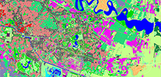
GLOBAL LAND COVER FOR THE FOREST MANAGEMENT
Visicom produces Geodata intended for forest management and greenery in cities. The used technology is based on Satellite image recognition featuring artificial intelligence and machine learning.
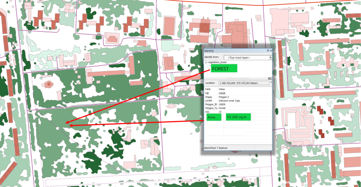
We propose the geodata for constant monitoring of forestry areas and vegetation within urban areas based on satellite image processing.
This technology is applied both at local and national levels depending on the final model accuracy demands (national, regional, city, local). The accuracy requirement also impacts the Satellite images resolution, which can vary from 0.5m (the most accurate data for city and local usage) to 10m (for national and regional usage).
Usage:
- Creation and maintenance of the forest fund database;
- Monitoring and planning of deforestation and new planting
- Assessment of the consequences of floods
- Assessment of the consequences of forest fires
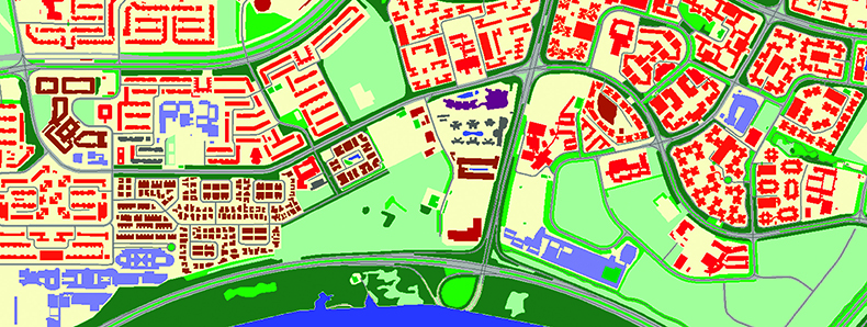
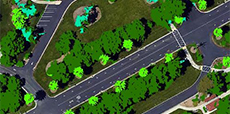
- Observation of parks in cities
Model types:
- National (resolution 10m)
- Reginal (resolution 5m)
- City (resolution 1,5m)
- Local (resolution 0,3-0,5m)
Learn more about FORESTRY INFRASTRUCTURE MAPPING
OR DOWNLOAD THE CASE STUDY
— FORESTS MANAGEMENT: “DEFORESTATION ASSESSMENT”
- Geospatial Data
- 3D TREES (CANOPY) MODEL
- Clutter/Land Use Map
- Precise and up-to-date mapping information
- Extra-accurate 3d buildings
- Detailed and high-resolution terrain
- Flexible price fitted to customer budget
- Delivery in any RF planning tool and GIS format
- Alcatel A955
- Aircom Asset
- Atoll Forsk
- CelPlanner
- ICS Telecom
- NetPlan
- AutoCAD
- ESRI ArcGIS
- MapInfo
- Microstation
- Neva
- Odyssey
- Pathloss
- Mentum Ellipse
- Mentum Planet
- Nokia NetAct
- ASCII XYZ
- Raster images
- TIFF and GeoTIFF
- ERDAS Imagine Image
- ER Mapper Raster
- ENVI Image Format
- Generic Binary