Digital Height Model (DHM)
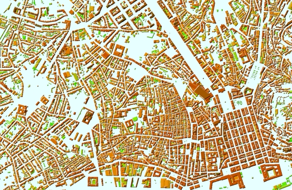
Visicom's Digital Height Model (DHM)
Digital Height Model (DHM) include impressions of buildings, elevated highways, and bridges. Mostly DHM used for, telecom network modelling, flood modelling, 3D City Models, obstacle studies, archaeological research and more other.
See also another digiatal elevation model:
- Digital Surface Model (DSM)
- Digital Terrain Model (DTM)
We guarantee
- Precise and up-to-date mapping information
- Extra-accurate 3d buildings
- Detailed and high-resolution terrain
- Flexible price fitted to customer budget
- Delivery in any RF planning tool and GIS format
Data formats
- Alcatel A955
- Aircom Asset
- Atoll Forsk
- CelPlanner
- ICS Telecom
- NetPlan
- AutoCAD
- ESRI ArcGIS
- MapInfo
- Microstation
- Neva
- Odyssey
- Pathloss
- Mentum Ellipse
- Mentum Planet
- Nokia NetAct
- ASCII XYZ
- Raster images
- TIFF and GeoTIFF
- ERDAS Imagine Image
- ER Mapper Raster
- ENVI Image Format
- Generic Binary
Order product