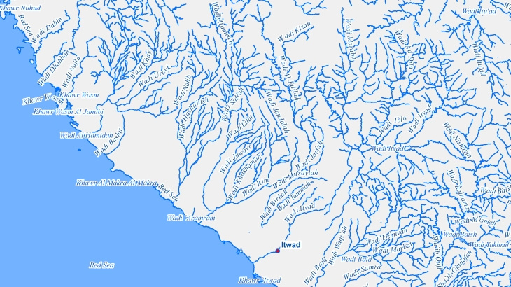
Hydrography is an important part of the infrastructure of a country, region, city, etc., and includes the following objects: - oceans - seas - bays - estuaries - lakes - rivers - streams - reservoirs - springs - waterfalls - rapids - etc.
Depending on your project demands, we can divide all the hydrographic objects into groups and classes, by type of water (salt, fresh, etc.) and nature of the water object, providing also various supporting information like length of coastline, area of enclosed water bodies, as well as the name of the hydrographic objects in local languages.
Applications:
Environmental Management and Modeling
Urban Planning
WEB-Applications
Virtual Games
Territorial Marketing
Tourism
Planning of Utility Networks
Marketing
Disaster Risk Management
Smart Cities
- Precise and up-to-date mapping information
- Extra-accurate 3d buildings
- Detailed and high-resolution terrain
- Flexible price fitted to customer budget
- Delivery in any RF planning tool and GIS format
- Alcatel A955
- Aircom Asset
- Atoll Forsk
- CelPlanner
- ICS Telecom
- NetPlan
- AutoCAD
- ESRI ArcGIS
- MapInfo
- Microstation
- Neva
- Odyssey
- Pathloss
- Mentum Ellipse
- Mentum Planet
- Nokia NetAct
- ASCII XYZ
- Raster images
- TIFF and GeoTIFF
- ERDAS Imagine Image
- ER Mapper Raster
- ENVI Image Format
- Generic Binary