3D BUILDINGS MODEL OF HUNGARY
2020-10-22
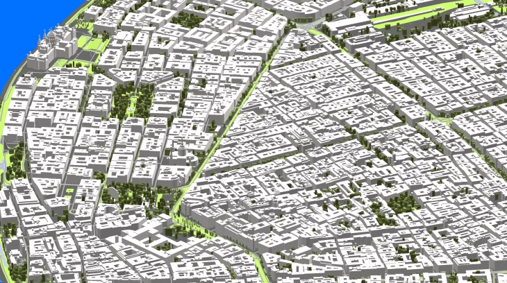
CITIES INCLUDED INTO 3D MAP OF HUNGARY:
- 3D model of Budapest - 525 sq.km
- 3D model of Budapest rest metropolitan area - 1105 sq.km
- 3D model of Debrecen - 460 sq.km
- 3D model of Kecskemét - 321 sq.km
- 3D model of Nyíregyháza - 274 sq.km
- 3D model of Miskolc - 236 sq.km
- 3D model of Szeged - 207 sq.km
- 3D model of Bekéscsaba - 193 sq.km
- 3D model of Székesfehérvár - 170 sq.km
- and more...
TOTAL OF 3D AREA - 4628 SQ.KM
DELIVERED DATASETS
DTM / Clutter Model (Land Use) / Vector Model / Building footprints
LANGUAGE SUPPORT HUNGARIAN & ENGLISH
3D BUILDINGS LOD2 INCLUDE ATTRIBUTES:
Street name/ Building number /Number of floors /Number of flats / Populations
Download the booklet about the project "3D map of Hungary" to see more details.
You may also be interested in: 3D GEODATA FOR EUROPEAN 5G NETWORK DEPLOYMENT


