3D models of Azerbaijan and Armenia
2017-03-29
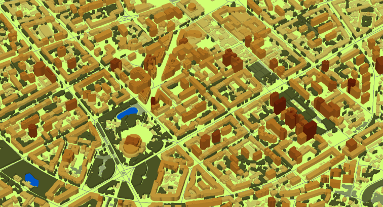
3D GEODATA OF AZERBAIJAN AND ARMENIA
Project for Radio Frequency planning, Geoinformation System and WEB-applications that covers:
3D map of Yerevan, Armenia – 267 sq km click here to view online map
3D map of Gyumri, Armenia – 51 sq km
3D map of Baku, Azerbaijan – 104 sq km
3D map of Ganja, Azerbaijan – 273 sq km
- Vector data model provided as a composition of vector layers in ESRI ArcGIS or Mapinfo formats.
- Raster data model presented in Geo-tif format and includes:
• Digital Elevation Model (DEM) (data placed in Height.tif file);
• Land Use Map (Clutter Model) - Service Data for RF planning tools:
• Digital Terrain Model (DTM);
• Land Use Map (Clutter Model) in matrix representation;
• Text labels;
• Vector layers.
Resolution of 3D model (cell size of matrix): 5 m


