3D MODELS OF BOLIVIAN CITIES
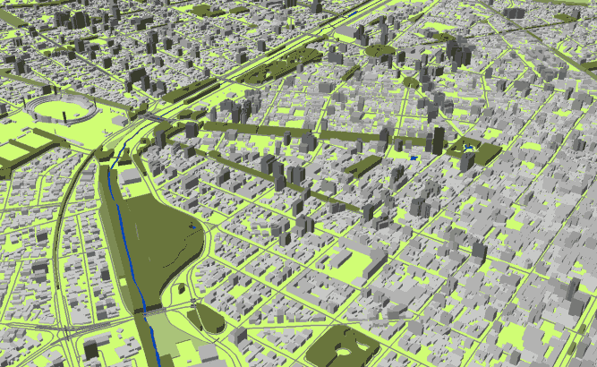
3D GEODATA OF BOLIVIAN CITIES
Project for Radio Frequency planning, Geoinformation System and WEB-applications and contains:
data for RF planning:
3D model of La Paz – 287,5 sq km;
3D model of Cochabamba – 288 sq km;
3D model of Potosi – 17 sq km;
3D model of Caranavi – 2,4 sq km;
3D model of Tarija – 48,1 sq km;
3D model of Trinidad – 20 sq km;
3D model of Sucre – 25,7 sq km;
3D model of Achacachi – 1,5 sq km;
3D model of Oruro – 52,4 sq km;
3D model of Pando – 11,7 sq km;
3D model of Santa Cruz – 201 sq km;
data for GIS project and WEB project:
Map of La Paz – 287,5 sq km;
Map of Cochabamba – 288 sq km;
Map of Potosi – 17 sq km;
Map of Caranavi – 2,4 sq km;
Map of Tarija – 48,1 sq km;
Map of Trinidad – 20 sq km;
Map of Sucre – 25,7 sq km;
Map of Achacachi – 1,5 sq km;
Map of Oruro – 52,4 sq km;
Map of Pando – 11,7 sq km;
Map of Santa Cruz – 201 sq km;
Project package includes 3 types of data representation:
- Vector data model provided as a composition of vector layers in ESRI ArcGIS or Mapinfo formats.
- Raster data model presented in Geo-tif format and includes:
• Digital Elevation Model (DEM) (data placed in Height.tif file);
• Land Use Map (Clutter Model) - Service Data for RF planning tools:
• Digital Terrain Model (DTM);
• Land Use Map (Clutter Model) in matrix representation;
• Text labels;
• Vector layers.
Please download the data sample of Bolivian cities project.


