Countrywide map of Algeria 2D
2019-01-15
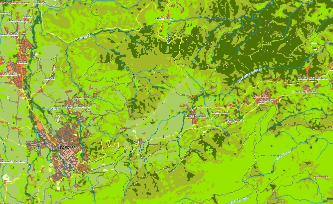
ALGERIA 2D
Project for Radio Frequency planning, Geoinformation System and WEB-applications and contains:
Please download the data sample of Algeria project and data specification
data for RF planning:
2D Regional Model of Algeria – 2325731 sq km
and
data for GIS project and WEB project:
Map of Algeria – 2325731 sq km
Map Project package includes such datasets as:
• Digital Terrain Model (DTM);
• Land Use Map (Clutter Model) in matrix representation;
• Text labels;
• Vector layers.
• Population map for Algeria (whole country)
Share this story


Order product