Partial country map of Saudi Arabia
2017-12-01
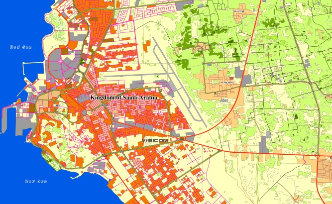
SAUDI ARABIA
Project for Radio Frequency planning, Geoinformation System and WEB-applications includes the most populated territories of Saudi Arabi and contains:
data for RF planning:
2D Regional Model of Saudi Arabi – 563830 sq.km (total country 2149690 sq.km)
and
data for GIS project and WEB project:
Map of Saudi Arabi – 563830 sq.km
Project package includes 3 types of data representation:
- Vector data model provided as a composition of vector layers in ESRI ArcGIS, Mapinfo or any other GIS formats.
- Raster data model presented in Geo-tif format and includes:
• Digital Elevation Model (DEM) (data placed in Height.tif file);
• Land Use Map (Clutter Model) - Service Data for RF planning tools:
• Digital Terrain Model (DTM);
• Land Use Map (Clutter Model) in matrix representation;
• Text labels;
• Vector layers.
Share this story


Order product