POPULATION MAP OF OMAN
2017-09-21
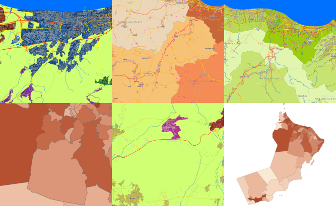
Oman 2D
Project for Radio Frequency planning, Geoinformation System and WEB-applications and contains:
data for RF planning:
Population Map of Oman – 309000 sq km
and
data for GIS project and WEB project:
Vector Map of Oman – 309000 sq km
Project package includes 3 types of data representation:
- Vector data model provided as a composition of vector layers in ESRI ArcGIS, MapInfo or any other GIS formats.
- Raster data model presented in GeoTIFF format.
- Service Data for RF planning tools.
Please download the free data sample of Oman project.
Share this story


Order product