Visicom 2.5D Models are made for urban and suburban territories contain multi-type buildings, vegetation and other obstacles that have significant impact on wave propagation. 2.5D Models contain parameters of 2D Urban Models and Clutter Heights layer – clutter classes with average height attributes.
2.5D Models keep your costs down in comparison with 3D Models. Nevertheless 2.5D Model represents accurate and precise coverage.
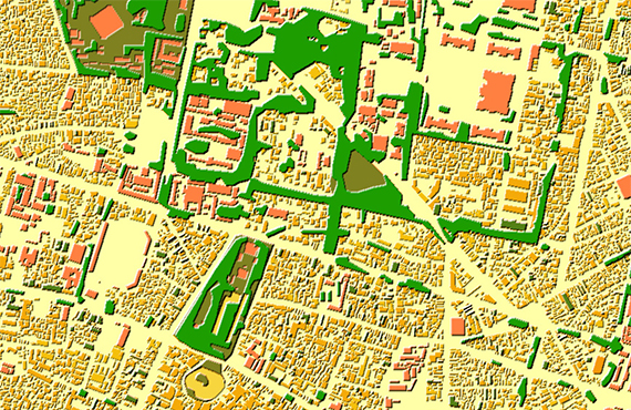
2.5D Urban Models data set:
- Digital Terrain Model (DTM) - Clutter / Land Use Model (20 classes) - Clutter Heights Model - Vector Model (8 classes) - Text Labels (names of settlements, rivers, railways, etc.) - Resolution: 5-10 m - Sources: Stereo pairs of middle-resolution satellite imagery, Mono satellite imagery of middle-resolution, Topographic maps of 1:10,000 - 1:25,000 scales
Additional layers may be included as well:
- Orthoimagery - Population Distribution Data
2.5D Urban Models may be integrated with 2D Urban or Regional ones to improve their accuracy in urban and suburban areas.
- Precise and up-to-date mapping information
- Extra-accurate 3d buildings
- Detailed and high-resolution terrain
- Flexible price fitted to customer budget
- Delivery in any RF planning tool and GIS format
- Alcatel A955
- Aircom Asset
- Atoll Forsk
- CelPlanner
- ICS Telecom
- NetPlan
- AutoCAD
- ESRI ArcGIS
- MapInfo
- Microstation
- Neva
- Odyssey
- Pathloss
- Mentum Ellipse
- Mentum Planet
- Nokia NetAct
- ASCII XYZ
- Raster images
- TIFF and GeoTIFF
- ERDAS Imagine Image
- ER Mapper Raster
- ENVI Image Format
- Generic Binary